Merritt Island is the quiet middle of Florida's Space Coast. It is a long island lying between two lagoons, with the launch pads to the north and the Atlantic beaches a causeway to the east. A great many people pass through it on the way to somewhere else. The buyers who stop tend to be after one specific thing: water at the back of the property, and a dock they can actually use.
This guide is for buyers approaching Merritt Island for the first time, or widening a Space Coast search from the barrier-island beaches toward the calmer water of the lagoons. It is written from the perspective of a brokerage that works this coast every week. What follows is geography, market, and a few plain observations, the kind that take a season to learn by living here and an afternoon to learn from someone who already does.
The geography
Merritt Island is a peninsula in Brevard County 1. It runs north to south for roughly forty-six miles, from the Volusia County line down to Dragon Point near Melbourne, and it is bounded on the west by the Indian River and on the east by the Banana River 1. The Indian River here is part of the Intracoastal Waterway that runs the length of Florida's Atlantic coast 2; the Banana River runs parallel, behind the barrier-island beaches of Cocoa Beach and Cape Canaveral.
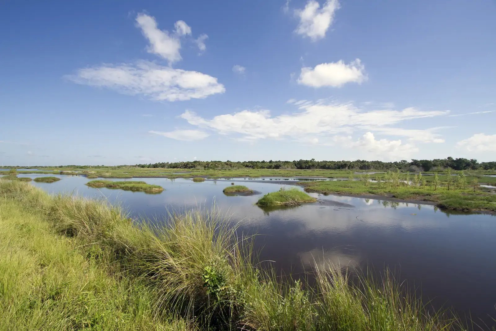
The northern third of the island is not residential at all. It is federal land: the Merritt Island National Wildlife Refuge, established in 1963 and managed in agreement with NASA across roughly 140,000 acres that also hold the Kennedy Space Center 3. That single fact shapes the whole island. Development is concentrated on the southern and central sections; the refuge and the space center hold the north; and the result is a settled residential island with a very large protected buffer at its top.
The residential island is home to roughly 35,000 people 4, a low-rise, established community rather than a resort strip. It also sits beside one of Florida's largest economic engines. NASA's most recent economic-impact report credited the Kennedy Space Center with an estimated $5.25 billion in output for the state 5, and that year-round employment reaches across the whole Space Coast, Merritt Island included.
County
Brevard, Florida
Bounded by
Indian River and Banana River
Island length
About 46 miles
North end
Wildlife refuge and Kennedy Space Center
The waterfront-estate market
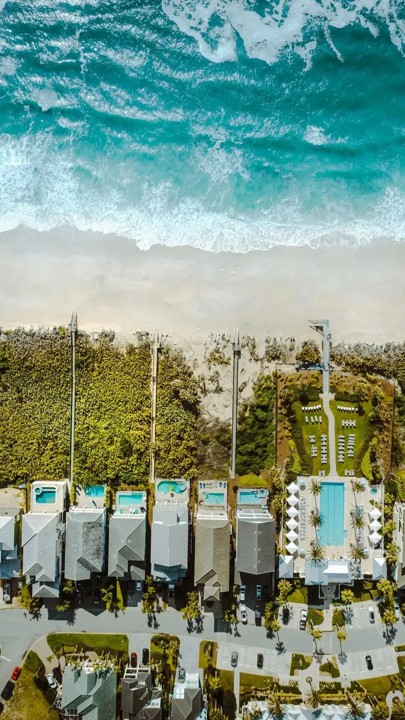
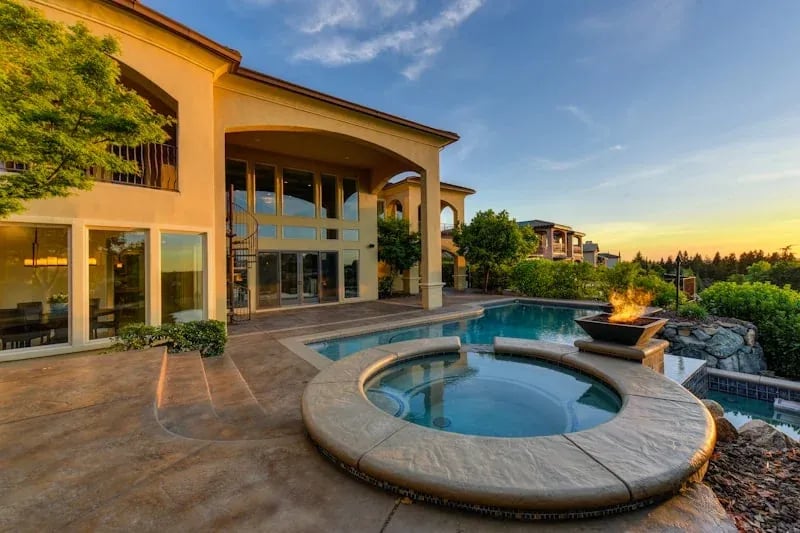
The reason to buy on Merritt Island, for the buyers this brokerage tends to represent, is the water. The island's upper tier is riverfront: single-family estates on the Indian River or the Banana River with private docks and access to the Intracoastal Waterway 2. This is a boating market first. A large share of these homes were bought for the dock as much as for the house.
The most sought-after riverfront runs along South Tropical Trail, the narrow corridor south of the State Road 520 causeway where the island tapers toward Mathers Bridge. At its southern reach the island narrows to a spit, with the Indian River to the west and the Banana River to the east. What any individual lot fronts is answered by its survey and title work rather than by the corridor, so ask for the survey early. These are riverfront corridors rather than gated developments. The water frontage, the lot, and the dock matter more than any single address.
“This is a boating market first. On Merritt Island the water at the back of the lot is frequently the reason for the house.”
Practical access
Merritt Island is defined by its causeways. State Road 520, the Merritt Island Causeway, crosses the Indian River from mainland Cocoa onto the island, then continues east over the Banana River to the beaches at Cocoa Beach 6. The island's north-to-south spine is State Road 3, the Courtenay Parkway, which runs from State Road 520 up toward the Kennedy Space Center 7. Between the two, most of the island is a short drive from either a bridge to the mainland or a bridge to the ocean.
For travel beyond the coast, State Road 528, the Beachline Expressway, runs west from the Space Coast to Orlando, passing the north entrance to Orlando International Airport on the way, a distance of roughly fifty-three miles 8. For many owners the more useful measure is by water: from a Merritt Island dock, the Indian River opens onto the Intracoastal Waterway 2, and the calm lagoons make for a protected home base rather than an open-ocean one.
What to look for on the water
A few plain observations from working this water every week.
Look at the dock and the water under it, not only the frontage on paper. The lagoons are shallow in places, and usable draft at a given dock varies with the specific location, the channel, and how recently the water there was dredged. A long dock does not always mean deep water at the end of it. Confirm what actually floats there at low tide before you settle on a view.
Look at the seawall and the build era together. The island's riverfront was built across several decades, and a seawall's age and condition sit near the top of the diligence list on any waterfront lot. A well-kept older home on good water can be a good home to own; the budget to update a dock, a seawall, or a home's systems is sometimes larger than a first-time waterfront buyer expects.
Treat dock work as a question to answer, not an assumption. Building, extending, or adding a lift on the lagoons runs through state and local permitting, and what one owner built years ago is not automatically what a new owner may rebuild today. If your plan for a property depends on changing the dock, put that question near the front of your diligence rather than the back.
The unwritten part
As on the rest of this coast, a meaningful share of the best riverfront never reaches a public listing. Waterfront owners on Merritt Island tend to know exactly what they have, and the good docks change hands quietly, sometimes through a single conversation between two people who already know the water. The homes that reach the open market are only part of what is actually available in any given season.
If you are early in a Space Coast search and want to see the broad market first, you can browse it on MaxxCity Homes' Space Coast search platform. If your search is specifically a riverfront estate with a working dock, on Merritt Island or on the water at Cocoa Beach or Melbourne Beach nearby, that is the conversation we have every week.
The most useful first step is usually a short conversation about the water you actually want: which river, which orientation, how much draft under the dock, and what you plan to keep tied to it. We can often tell you within a call whether it exists right now, is likely to come available this season, or is worth waiting for. Come see the island from the water. It reads differently from there.
Sources
- Wikipedia: Merritt Island, Florida (peninsula in Brevard County; extends ~46 mi from the Volusia County line to Dragon Point; bounded by the Indian River and the Banana River)
- St. Johns River Water Management District: Indian River Lagoon Facts (part of the Intracoastal Waterway)
- U.S. Fish & Wildlife Service: Merritt Island National Wildlife Refuge, About Us (established 1963; ~140,000 acres; managed in agreement with NASA over Kennedy Space Center lands)
- U.S. Census Bureau, ACS 2024 via Census Reporter: Merritt Island, FL population profile
- NASA: Kennedy Space Center FY2021 Economic Impact Report ($5.25B output for Florida)
- Wikipedia: Merritt Island Causeway / State Road 520 (crosses the Indian River from mainland Cocoa to Merritt Island, then east over the Banana River to Cocoa Beach)
- Wikipedia: Florida State Road 3 (Courtenay Parkway; runs north from SR 520 on Merritt Island toward the Kennedy Space Center)
- Wikipedia: Florida State Road 528 (Beachline Expressway; runs west from the Space Coast to Orlando, past Orlando International Airport, roughly 53 miles)