Miles are the wrong unit for Brevard County. The county is a long strip of mainland, a lagoon system, and a barrier island running parallel to it, and almost every workplace worth commuting to sits on one side of that water while most of the oceanfront housing sits on the other. What decides a daily commute is not distance. It is which causeway you cross, and what governs that crossing.
This is the mapping exercise our Space Coast relocation orientation recommends and does not carry out. Below is the crossing-by-crossing version, written for a buyer choosing between barrier-island communities rather than between states.
Why the question sharpened in 2026
The current build-out is at the north end of the county. Blue Origin is building an 830,000-square-foot upper stage manufacturing facility at the Cape Canaveral Spaceport under a $600 million capital investment, a project the State of Florida announced would create 500 aerospace jobs 1. The company already employs nearly 4,000 people in Florida, reports more than $2.3 billion invested across 500 Florida suppliers, and has expanded to 11 sites across Brevard and Orange Counties 1.
The practical consequence for a homebuyer is narrow and worth stating plainly: the county is long, the barrier island runs its full length, and a workplace at one end with a residence at the other is separated by water as well as by distance. That is a commute question before it is anything else.
“Distance is not the constraint on the Space Coast. Water is, and the bridges over it are finite.”
The four workplace anchors
Four destinations account for most of the commuting that matters to a buyer at this end of the market. Knowing which one applies narrows the question faster than anything else.
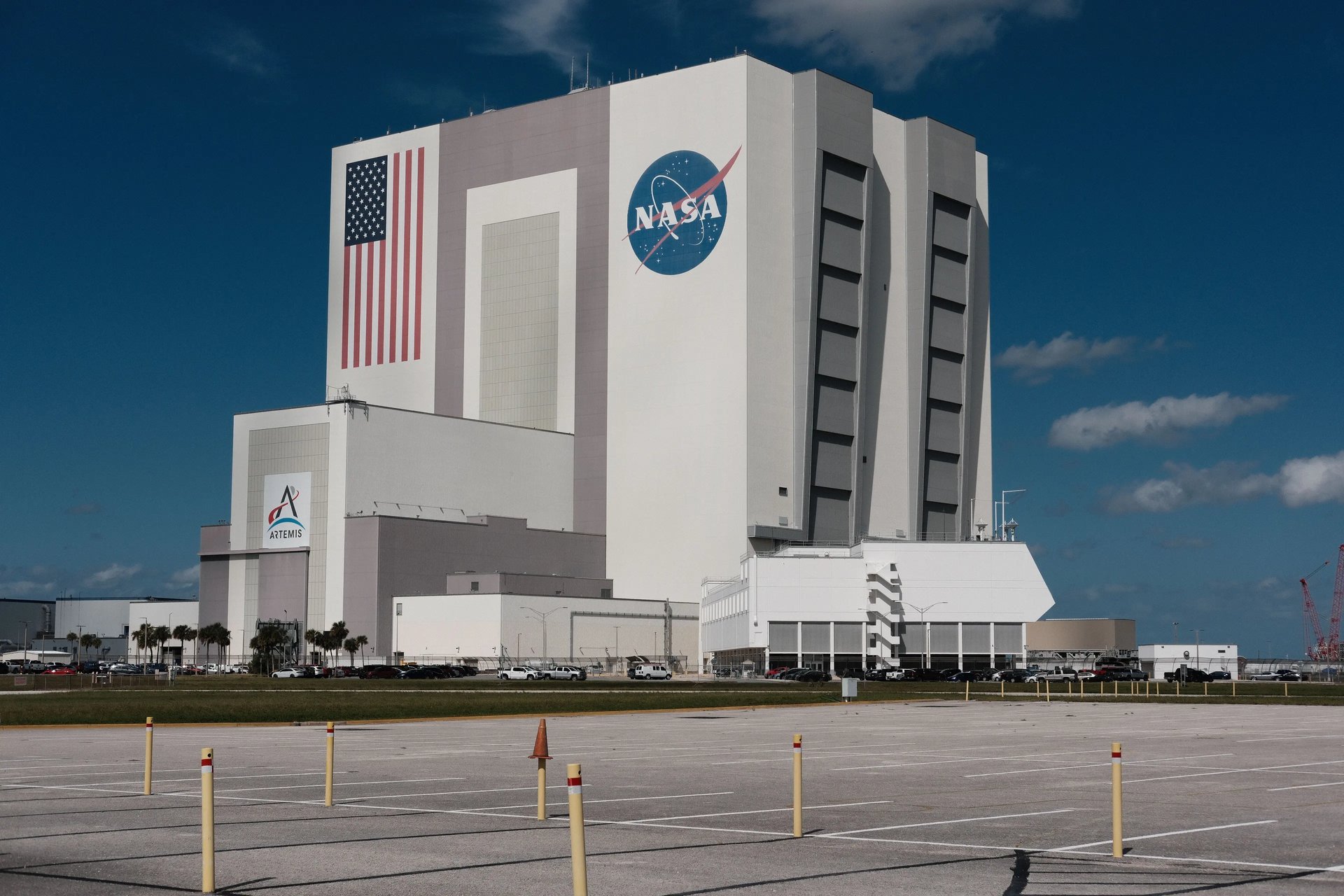
- Kennedy Space Center, on Merritt Island at the north end of the county, reached from the mainland at Titusville or from the south along Merritt Island.
- The Cape Canaveral Spaceport and Port Canaveral, on the cape itself, north of Cocoa Beach.
- Patrick Space Force Base, which sits on the barrier island between Cocoa Beach and Satellite Beach, so it is the one major anchor reached without crossing water from much of the beachside.
- The Melbourne corridor on the mainland, where L3Harris is headquartered [2].
Patrick is the outlier. A household commuting there from Indialantic or Melbourne Beach stays on State Road A1A and crosses no water at all. Buyers weighing a north-end address against a south-end one usually find that one fact carries more weight than they expected.
The causeways, north to south
The barrier island connects to the mainland at a limited number of points. Reading them in order is the fastest way to understand the county's daily geography.
- State Road 405, the NASA Causeway, links Titusville to Kennedy Space Center. This is the working entrance to KSC rather than a residential commuter route.
- State Road 528, the Bennett Causeway, carries traffic from the mainland across Merritt Island to Cape Canaveral and Port Canaveral. It is the primary approach to the cape.
- State Road 520 runs from Cocoa on the mainland to Cocoa Beach in two named halves: the Merritt Island Causeway over the Indian River, then the Cocoa Beach Causeway over the Banana River.
- State Road 404, the Pineda Causeway, connects the Suntree and Viera side of the mainland to State Road A1A between Patrick Space Force Base and South Patrick Shores. It is the mainland approach to Patrick.
- State Road 518, the Eau Gallie Causeway, crosses from Melbourne to Indian Harbour Beach.
- State Road 192, the Melbourne Causeway, crosses from downtown Melbourne to Indialantic.
Read against the anchors above, the pattern is straightforward. A Merritt Island address sits inside the KSC and cape approach and crosses least to reach either. Cocoa Beach reaches the cape without touching the mainland. Indialantic and Melbourne Beach sit closest to the Melbourne corridor, reach Patrick along A1A without a crossing, and sit furthest from the north-end launch sites.
The two variables a map will not show you
A map will show you the crossings. It will not show you the two things that actually vary a morning.
Drawbridges
Several of these crossings carry bascule spans over the Intracoastal Waterway, and a bridge opening for marine traffic stops road traffic while it does. This is ordinary and predictable in character but not in timing, which is why this guide quotes no journey durations. A firm number for a Brevard causeway commute is an average, and an average is not what you meet on any particular morning.
Launch operations
The Eastern Range was the world's busiest spaceport in 2024, when Space Launch Delta 45 enabled 93 launches 3. At that cadence, roughly one every four days, launch and recovery operations are a standing feature of the calendar rather than a rare event. They can close roads and beaches near the pads, and viewing traffic can affect the northern causeways on a launch day. For most of the county this sits well outside the daily commute, but it is a genuine variable at the north end and it belongs in the decision.
What to verify before you commit
The mapping above narrows a question. It does not settle one. Before a contract, these are worth confirming against your own circumstances rather than against a guide.
- Drive your actual route at your actual hour, in both directions, on a weekday. A crossing that reads well at noon can read differently at seven.
- Confirm your destination's gate or entrance, not just its campus. On the secured installations the entrance you are cleared for changes the route materially.
- Ask what the bridge schedule looks like on the specific span you would use.
- If launch operations affect your route, find out how closure days are handled at your destination, and whether your own schedule can absorb them.
Brevard County's employment base is broader than the launch companies alone, and the regional development commission publishes the current industry profile if you want the wider picture before narrowing to a community 4.
We represent buyers across the barrier island from Cocoa Beach to Melbourne Beach, and the first question we ask a relocating buyer is which of the four anchors above they are commuting to. Every community on the island stays on the table; the answer just changes which ones a buyer wants to see first. Current inventory is on the listings page, and our relocation representation covers the search itself.
Sources
- Space Florida: Governor Ron DeSantis Announces $600M Blue Origin Manufacturing Expansion, 500 High-Wage Jobs
- L3Harris Technologies: corporate locations, Melbourne, Florida
- Space Launch Delta 45: Eastern Range launch records, 93 launches in 2024
- Economic Development Commission of Florida's Space Coast: industry profile