South Tropical Trail runs the southern length of Merritt Island, from State Road 520 down past the Pineda Causeway to Mathers Bridge near the island's tip. For much of that run the island is narrow enough that the Indian River sits on one side of the road and the Banana River on the other.
A west-facing lot on the Indian River takes the sunset over the water with the mainland behind it. An east-facing lot on the Banana River takes the sunrise, the barrier island and the Atlantic beyond it. On a strip this narrow the choice of shore is a choice about which end of the day you are buying, and it is not reversible.
The island itself, its market and its history are covered in our Merritt Island buyer's guide. This is the corridor, and the three things that decide a purchase on it.
Which shore you are buying
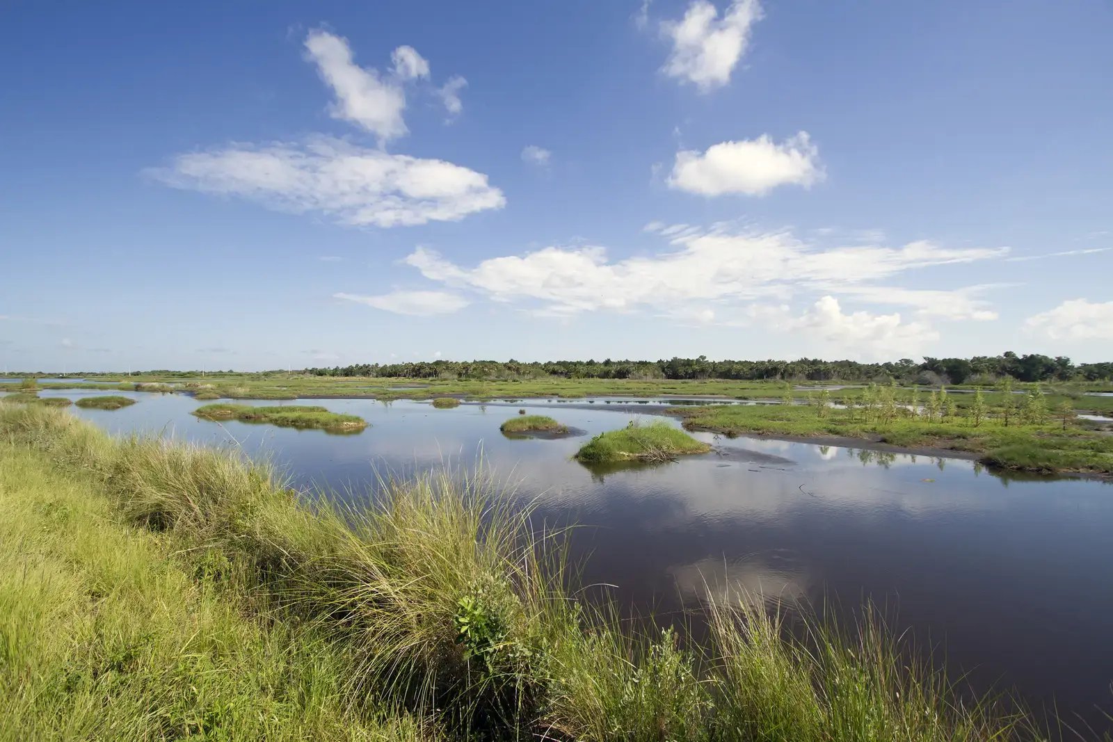
Merritt Island separates two bodies of the Indian River Lagoon estuary 1: the Indian River proper to the west, between the island and the mainland, and the Banana River to the east, between the island and the barrier island carrying Cocoa Beach and Patrick Space Force Base.
Beyond the light, the difference shows up in ordinary use. Prevailing wind reaches the two shores differently, which is felt on a dock on a Tuesday afternoon rather than recorded in any specification. The two rivers are also separate water, so a dock on one does not by itself put a boat on the other.
“The corridor is not waterfront with a view across. It is a strip of land with a different river on each shoulder.”
The route to the Atlantic
The rivers meet in two places, and neither is a straight run. At the corridor's southern end the Banana River opens into the Indian River just below Mathers Bridge, which crosses at Banana River mile 0.5 and carries a vertical clearance of seven feet at mean high water when closed 2. Well to the north, the Canaveral Barge Canal cuts east to west across the island, running from the Intracoastal through a lock to the deepwater basin at Port Canaveral and the ocean 3.
Which of those a given boat can take is the question, and it is not one a brokerage page should answer. This is a shallow lagoon system where depth, clearance and shoaling vary by location and over time. If a boat of a particular draft or air draft is part of why you are buying, verify the whole route against current NOAA charts and the relevant bridge and lock operators before you write an offer, not after.
The survey, and what it settles
The question buyers ask most often on this corridor is what a given lot actually fronts. That is answered by the property's survey and the title work rather than by the corridor, and it is worth asking for the survey before the tour rather than after.
Two related items are worth starting in week one, because both are answered by third parties on their own timelines.
- Where the upland ends. Ownership toward the water is a legal question answered by the survey and the title work, and it is one for the buyer's attorney rather than for a broker.
- Any existing dock's permitting history. Dock work in Florida runs through the Department of Environmental Protection's environmental resource permitting program, and whether a given structure was permitted or qualifies for an exemption is a question for the Department and the county [4].
Neither is unusual for waterfront. Both are simply longer than the inland version, and starting them early is the difference between a clean closing and a rushed one.
Community detail and current context are on the Merritt Island neighborhood page, and our residential representation covers the search and the diligence above.
Sources
- U.S. Environmental Protection Agency, National Estuary Program: Indian River Lagoon
- 33 CFR 117.263: drawbridge operation regulations, Mathers Bridge, Banana River mile 0.5
- NOAA Office of Coast Survey, United States Coast Pilot 4, ch. 12: Canaveral Barge Canal and the barge lock to Port Canaveral
- Florida Department of Environmental Protection: Environmental Resource Permitting